- Home
- His life ...
- His work ...
- Media ...
-
Photo Gallery ...
- All Photos
- -
- Sahara Rock Art completed
- Tuareg
- Pueblos
- Northwest Indians
- Peru
- The culture of the Incas
- Pre-Inca cultures
- The Andes
- Argentina
- Gauchos
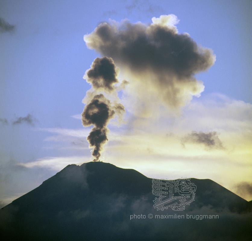
- Central America
- Sahara 1962-1975
- Sahel
- Sahara : Tassili - Tadrart 1993
- From the Ténéré to the Aïr Mountains NEW !
- In the dunes of Erg Izane NEW !
- Across the Tamgak Mountains NEW !
- From Adrar Bous into the Tamgak Mountains NEW !
- With the Tuareg on the edge of the Tamgak Mountains NEW !
- Building a Tataram: Documentation NEW !
- Comments